|
Canoe - Kayak
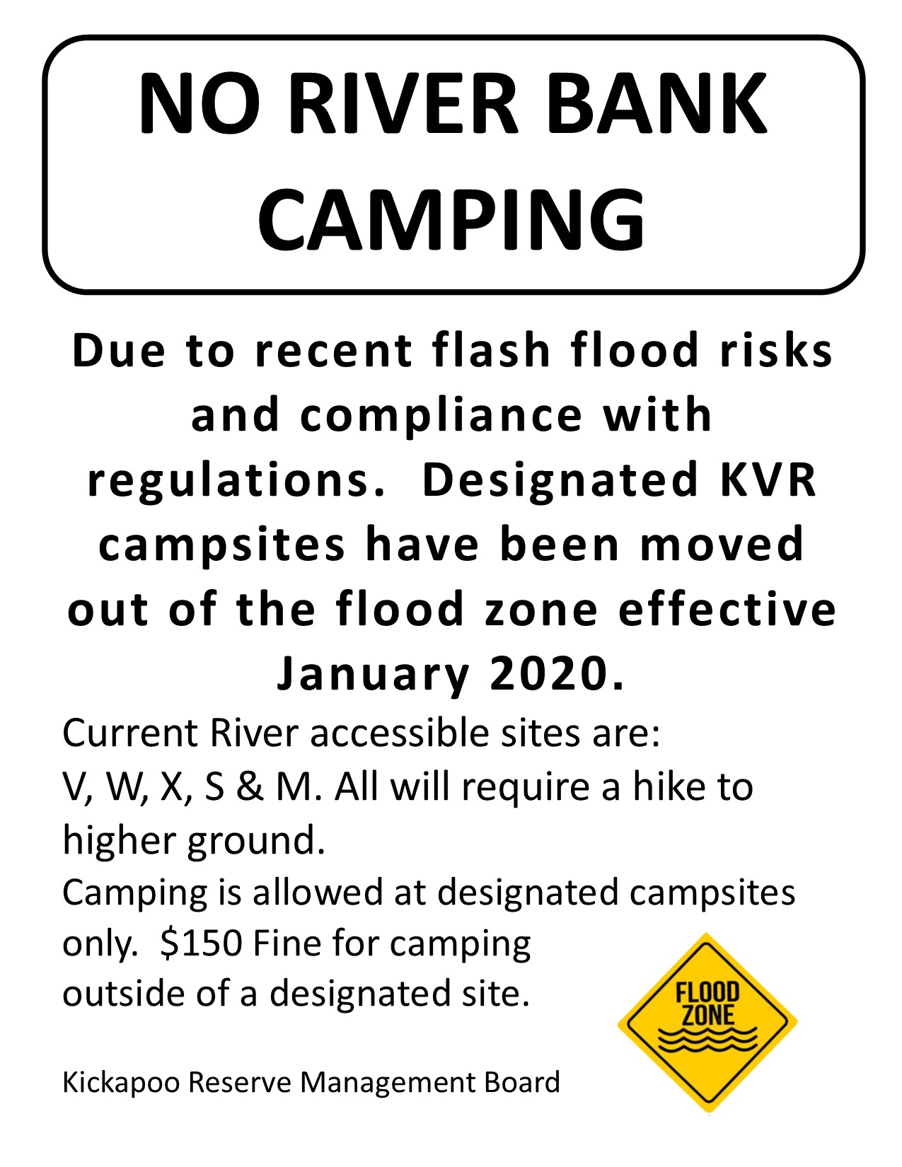
The Kickapoo River has been a favorite among canoeists for many years. The word "Kickapoo" is from the Native American Algonquian language, meaning "he who goes here, then there". Translated locally as the "crooked river", it certainly lives up to its name, meandering its way along a 125-mile course that covers only 65 miles "as the crow flies." The shallow, gently flowing river is tame enough for the beginner but scenic enough for the advanced paddler as well. The upper stretch of the river from Ontario to LaFarge is arguably the most beautiful, if not the most accessible for the public to enjoy. Flooding The Kickapoo River is well known for rapidly changing water levels. The river will rise quickly during and after heavy rain; flooding is a common occurrence. During high water, passing under tree branches and some bridges may become difficult, and at times, impossible. Debris dams or log jams can develop, thus blocking the river channel and causing extremely dangerous conditions. At the first sign of threatening weather, begin to consider seeking higher ground. The "normal" summer gauge height at LaFarge ranges between 3 to 5 feet (at Bridge 20). Water levels above 5 feet are not recommended for leisure paddling. Bridge 8 is not passable at about 7.5 feet on the La Farge gauge. Normal summer levels at the Ontario gauge height is about 8.5 feet. Check the USGS gauging station at LaFarge, Kickapoo River Gage Station at Ontario or contact the Reserve office for current river conditions. PLEASE NOTE: River access sites are challenging and difficult to get to with full camping gear; banks can be steep and muddy as the Kickapoo River fluctuates regularly. Sites are primitive with low maintenance. All riverbank camping has been eliminated due to dangers of flash floods. Please plan accordingly and expect that you may have to haul your gear up to 75 yards up hill from the river to a campsite. 
|
|
River KnowledgeThe river is a textbook example of an entrenched dendritic river system. It is the longest river completely within the Driftless portion of the upper Midwest. Over a period of millions of years, the river has carved a valley that varies from just less than a mile wide at its greatest to a narrow gap at other places. The river is fed by a number of smaller streams and tributaries, many of which offer excellent trout fishing opportunities. Springs and free-flowing wells contribute to keeping the river cool year-round. Log jams are a natural occurrence along the Kickapoo. Be careful when swimming or portaging. The cool water temperature, deep pools with surprisingly strong currents, and hidden logs can be hazardous. |
BE RIVER READY- State Law requires Personal Floatation Devices (PFD's) be available for each person. Paddlers under 13 years of age must wear a PFD.
- Use caution while swimming due to surprisingly strong currents in some areas, hidden snags, and cold temperatures in deep pools.
- At first signs of severe weather, seek shelter and higher ground. Dangerous river conditions can develop rapidly during and after heavy rains. DO NOT attempt to paddle the river during high water. Due to the inherent flood risk, camping on the river bank is prohibited in all areas. For current flow rates, view the USGS Kickapoo River Gauge Station at LaFarge or Ontario at http://waterdata.usgs.gov.nwis
- Do not litter: Pack it in, pack it out. NO GLASS ON THE RIVER. Glass bottles and containers can become a safety hazard for yourself and others. Citations for littering and/or having glass on the river are over $150 in the KVR.
- Bring plenty of drinking water or be prepared to filter or boil water due to naturally occurring bacteria.
- Be courteous to fellow paddlers; keep noise to a minimum and ethics to a premium.
- Bridges and access points from Ontario to LaFarge are numbered. Know your start and end points.
- Camping is allowed in designated sites only. Current river accessible sites are: V, W, S, X, M. All will require a hike to higher ground. You are not guaranteed a river accessible campsite. All campsites are first come first served. View our most current river guide for more campsite information.
|
|
|